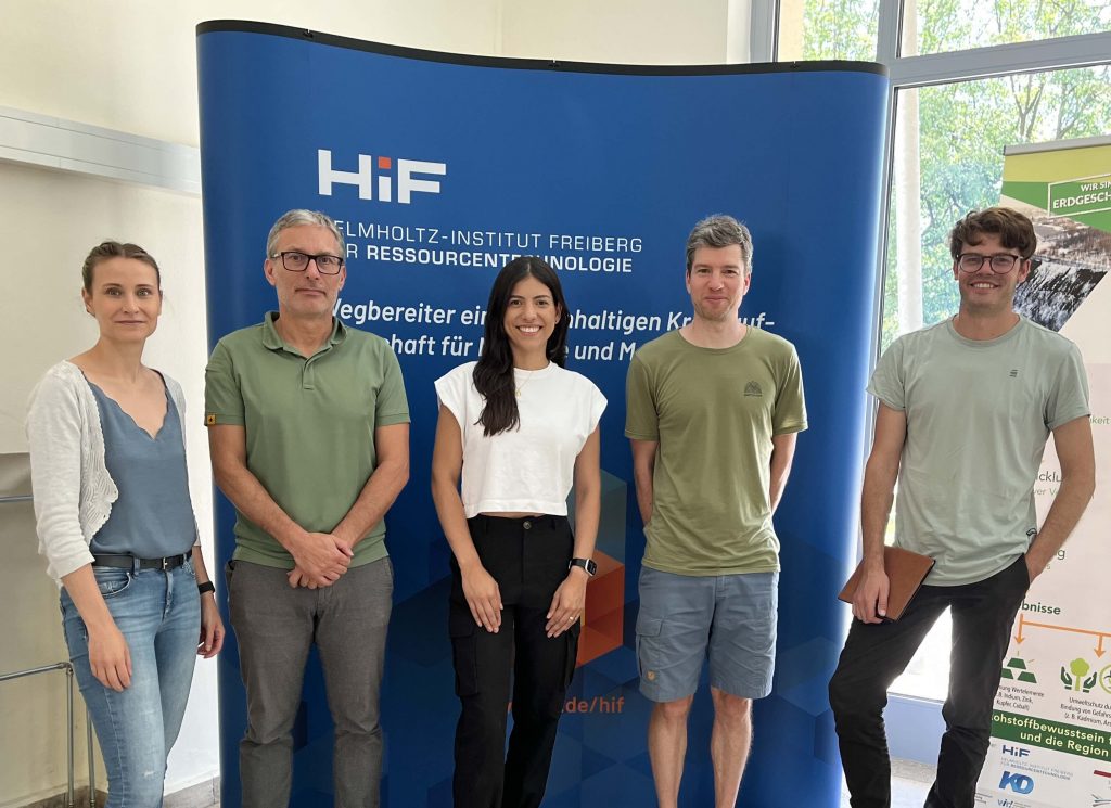
Team EO-Insights
Helmholtz-Zentrum Dresden-Rossendorf
René Booysen, Richard Glaoguen, Yuleika Madriz, Moritz Kirsch, Sam Thiele
Earth Observation Tools for Geoscientist
Remote sensing is an emerging technology that is still largely in the hands of specialists and has yet to be fully embraced by the geoscience industry. Many geoscientists are not fully aware of how to take advantage of the wealth of available satellite data and state-of-the-art processing techniques. This lack of knowledge significantly hinders the adoption and use of satellite data in the field, preventing its full potential from being realized. That is why we have created EO-Insights, an innovative short course designed specifically to meet the needs of the Earth science community.
This approach integrates knowledge and skills from multiple disciplines and uses the latest technologies and techniques to ensure that professionals are well equipped to address real-world challenges. We ran a pilot program as a two-day short course which provided a hands-on learning experience with in-person lectures in the morning and hands-on tutorials in the afternoon. Attendees participated in interactive sessions where they learned how to process and analyze satellite data through customized exercises using open-source software. This initiative allowed us to assess the needs of the participants and provide valuable insights into what they would like to learn.
Typical short courses on similar topics are often very general and not specifically tailored to the needs of the geoscience community. By working directly with participants, we are able to tailor a course to meet their expectations and enhance the overall learning experience. This course empowers professionals to integrate remote sensing into their work, ultimately enhancing their skills and driving greater adoption of remote sensing technologies in the industry.